 Ankurman Handique
 Home
About Kaziranga National Park
Kaziranga National Park, located in the northeastern state of Assam, India, is a biodiversity hotspot and a UNESCO World Heritage Site. Spanning over 900 square kilometers, it is renowned for its significant population of the Indian one-horned rhinoceros, a species on the brink of extinction. The park’s diverse ecosystems encompass lush grasslands, dense forests, and meandering rivers, providing a habitat for a rich array of wildlife, including tigers, elephants, and a plethora of bird species.
What sets Kaziranga apart is its successful conservation efforts, which have led to a remarkable increase in the rhino population, making it a global conservation success story. The park also symbolizes the critical role protected areas play in safeguarding our planet’s natural heritage. Visitors can explore its beauty through safaris and boat rides, immersing themselves in the enchanting world of Kaziranga’s wildlife and lush landscapes.
About this Website
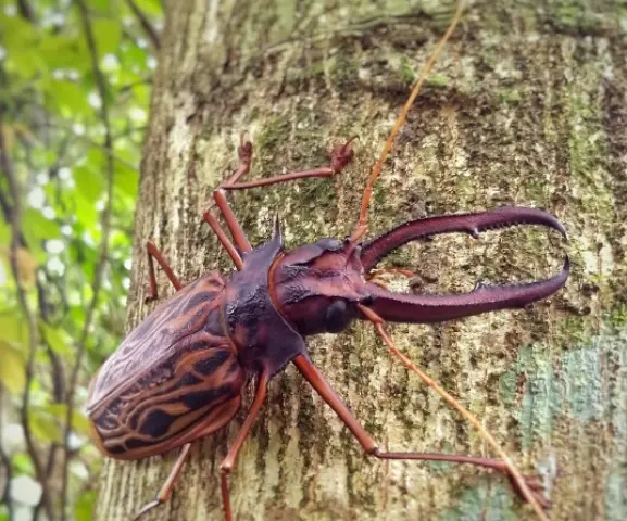
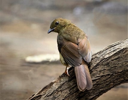
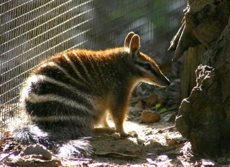
This website is specifically for those who have a great passion for wildlife and are eager to expand their knowledge about various animals, birds, insects, and more. Our team consists of three writers who bring fascinating facts about different species. Additionally, we actively participate in animal rescues as volunteers and contribute financially to animal foundations.
Categories